Four most important classification algorithm in RShttps://github.com/mohajerimasoud/Remote-Sensing-Classification/blob/main/README.md
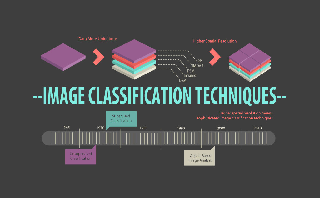
In remote sensing, classification of multispectral image is the process of grouping pixel in finite set of individual classes based on their data values. The pixel is assigned to a particular class if it satisfies the certain set of rules to fit in a particular class. Finding meaningful data from multispectral images is an art and science, which can be possible from classification. Human eyes and brain easily recognised spectrally and spatially enhanced images into certain colours and patterns. Merely for a computer system, pattern recognition is mathematic process and pixels are classified and grouped in categories according to mathematic criteria. These measures can be generally split up in two parts supervised classification and unsupervised classification. Unsupervised classification is more computer automated process and it grouped the similar spectral characteristic pixel into the clusters. Unsupervised classification used when data are very less to be classified an image. The main advantage of this technique is time saving because it doesn't require any analyst to the fed information before classification, but after classification labelling should be done by analyst. Whereas, supervised classification used when few number of classes are required for analysis. Some prior knowledge of pixels is also required that represent classes which you want to extract from image after that analyst creates an appropriate signature form image for classification. Remotely sensed images are applied in a wide assortment of applications like reconnaissance, creation of mapping, military and civil applications, assessment of environmental damage, land use monitoring, radiation monitoring, urban planning, growth regulation, soil evaluation, and crop yield assessments. Maximum likelihood classification (MLC) is most widely used supervised classification and used in a variety of applications. In MLC, a pixel is assigned to a class according to its probability of belonging to a particular class whose mean and covariance are modelled as forming a normal distribution in multispectral feature space.

